
Which Normal Block Records Answer Which Question
No single public record lists every person around a Normal address. The parcel layer defines the block spatially, Devnet supplies tax-roll facts, deeds and plats document land, and older directories add timed occupant clues. The most reliable neighbor lookup keeps those functions distinct.
| Source | Block evidence | How to access it |
|---|---|---|
| Town GIS parcel layer | Adjacent polygons, PINs, addresses, owner attributes, acreage and direct record links | Public REST and map service; reference display only |
| Devnet address browse | Owner and tax-roll result for each house number and street | Public portal; open results one at a time |
| Recorded plats and deeds | Lot, block, easement, subdivision and ownership sequence | RecordHub account, Recording Division counter, books and library plats |
| Voter lookup | Whether a supplied person and address match, plus precinct or district | Individual lookup; the full file is restricted |
| Historic criss-cross directories | Address-to-occupant or subscriber clue for an older year | Bloomington Public Library, chiefly the 1982-1996/97 Cole run |
| Normal planning records | Permit, zoning, land-use, code or public-project facts tied to an address | Public reports, gated eTRAKiT route or a narrow FOIA request |
A listed owner, mailing recipient and current occupant can be three different people. Even a matching mailing and situs address is only an owner-occupancy clue. It does not identify every household member, and the recorded deed remains the source for legal vesting.
Walk Outward from One Normal Parcel
The Town of Normal parcel layer is a polygon service for active McLean County parcels. It exposes PIN, formatted PIN, parcel year, owner-name attributes, address lines, township, ZIP, acreage and direct assessor, recorder and tax links. It supports map clicks and geometry queries, but no verified one-click neighbors button exists.
- Find the target address in Devnet and save the situs, PIN and legal description. Use those facts to anchor the right polygon.
- Click each adjoining polygon. Record its PIN, address and parcel year before opening the linked tax result.
- Compare mailing and situs lines, tax year and any exemption field. Treat them as clues, not a household list.
- Follow the recorder link only when ownership or subdivision history matters. Confirm the legal description on the instrument.
- Repeat around the immediate block. Break a large query into pieces because the service limits a response to 2,000 features.
This process is deliberately parcel by parcel. A GIS-capable user may issue a geometry or buffer query, but the result is still a parcel set rather than a radius roster of people. For an entire road, the Normal street directory explains the full by-street chain.
The inspected layer demonstrates why the method works: each feature can carry address lines, township, parcel year, formatted PIN, geometry and the three record links. Yet a broad street query can hide the context that makes a match reliable. Saving one feature at a time preserves which polygon supplied which owner attribute and prevents a nearby mailing address from being mistaken for the target situs.
Recorded Plats Give Normal Neighbors a Block Shape
A parcel polygon shows current geometry, while a recorded plat explains the lot, block, subdivision, easement and right-of-way relationships beneath it. That matters where an alley, common tract, condominium parcel, replatted lot or annexation makes two addresses appear closer or farther apart than their legal descriptions suggest.
Search RecordHub or ask the Recording Division for the relevant plat and ordinance. Bloomington Public Library also holds atlases and plat books that add historical context. County GIS warns that its display is not a survey, so a line disagreement should be resolved with a recorded description or qualified survey, not the screen alone.
Historic Districts Add a Normal Neighborhood Vocabulary
Normal's officially mapped districts give useful place and time clues without claiming private membership. Cedar Crest was built from 1914 to 1930, designated locally in 1993, and entered on the National Register in 2006. It contains 50 structures on 59 lots. Highland, designated in 2002, includes a nineteenth-century farmhouse and Prairie, Four-square and Craftsman examples.
The Town's historic-district page provides the Normal maps and designation context.
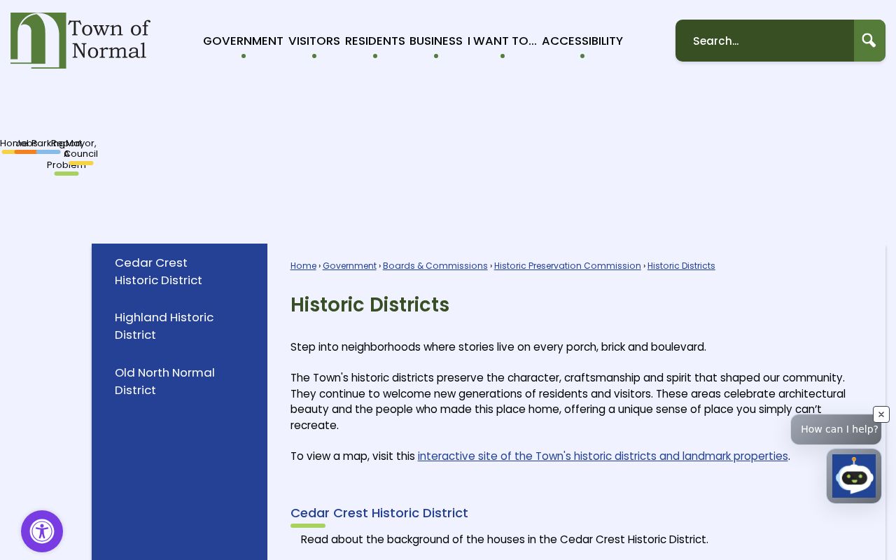
The maps can be compared with parcel polygons as place-era evidence, not as a list of current residents.
Old North Normal, designated in 2003, is the oldest intact continuous residential area north of ISU and Uptown. Its homes span about 1870 through 1950 and more than 30 styles. University Influence Neighborhoods 1 and 2 are comprehensive-plan categories, not verified associations with public rosters.
When a district map and current parcel layer appear to disagree, retain the PIN and ask Planning/Zoning or the Recording Division for the controlling plat or ordinance. The map comparison can explain the character of a Normal block and guide a historic-property question, but it does not alter title, locate a survey line, or identify the people inside a building.
Public Community Contacts, Not Private Normal Rosters
The reviewed Town pages did not provide a verified member directory for every Normal neighborhood. They did provide a public resource directory with 31 listings and category, name, first-letter and search controls. Use it to find an office, service or civic organization. Do not infer who belongs to a private association, congregation, watch group or listserv.
The Normal community resource directory is the official public contact route.
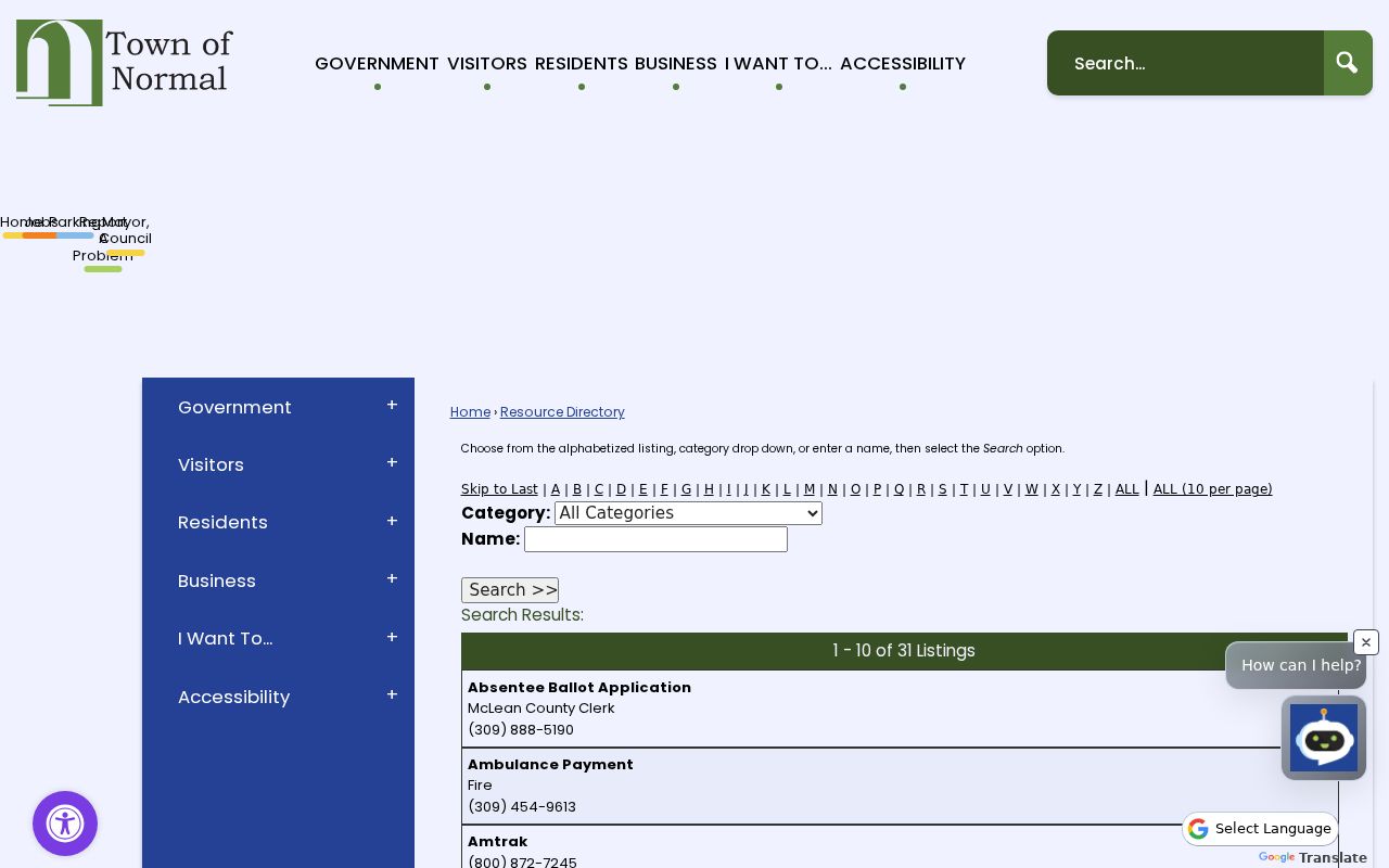
The page supplies organization contacts while leaving household and membership information where it belongs.
Town resource directory
Search public services and civic contacts by category or name.
Planning and zoning
Ask about district maps, plats, permits, annexations and land-use records.
Local history collections
Use libraries, the Museum and IRAD for dated block and organization evidence.
Illinois Voter Access Does Not Create a Normal Block Roll
The public voter lookup is person-specific. It tests supplied identifying details and may return registration status, polling place or district information. The full voter file is not an unrestricted public block export, and protected voters may have address safeguards. Search one known person only when the purpose is lawful and the match needs confirmation.
That limit is useful, not a defect. It prevents a registration system from being treated as a complete list of Normal neighbors. Renters, nonregistered adults, children and others will not be represented, while a record that does match still reflects registration data rather than day-to-day presence.
Note: Keep the date and exact function of a voter result beside any address conclusion.
Official Normal Records and Commercial Neighbor Tools
Commercial neighbor tools often combine property, directory, marketing and old address data into one profile. That can be convenient, but stale dates and merged identities are hard to diagnose. Official sources are narrower and require more work, yet each has a named custodian, a defined record type and a clearer correction path.
| Question | Official source route | Commercial category |
|---|---|---|
| What land touches this parcel? | Town GIS polygon and recorded plat | Map may simplify or omit legal detail |
| Who is assessed for it? | Devnet tax-year record | May merge owner and occupant labels |
| Who holds title? | Recorded deed and legal description | Source date may be unclear |
| Who lived there in an older year? | Dated directory, census or newspaper | Historic identities may be blended |
Ask Normal for Address Records with a Narrow Scope
Permit, inspection, zoning, land-use and code records can explain what changed on an adjacent parcel. Since the public eTRAKiT route is login-gated, use monthly reports where they answer the question, then send a focused Illinois Freedom of Information Act request for the rest. Give a street number, date span, desired record types, and whether final dispositions or images are needed.
A block request should use a number range or a prepared PIN list rather than ask for everything about a street. The GIS layer can supply that list first. Plans or security-sensitive parts may have a different custodian or lawful withholding rule, so request them separately from the basic index and final approvals.
Keep two time maps when the question reaches into the past. One map groups present parcels by polygon and taxing district. The other groups people by a dated directory block, census enumeration, obituary or newspaper event. A street name or lot description may have changed, so link the two maps through the plat, legal description and PIN instead of assuming that today's adjacent parcels had the same relationship in every year.
What a Normal Neighbors Search Must Leave Private
Public records do not reveal a complete household. Renters, household members, unlisted subscribers, utility customers, delivery data and non-public motor-vehicle addresses stay outside the block workflow. Illinois's Address Confidentiality Program may substitute an address for qualifying survivors, although the program cannot promise that every property record will be confidential.
Normal neighbors may also sit on parcels that are vacant, institutional, exempt, used for mobile homes, or mailed to another place. Label each relationship by time and record type. A current polygon, a tax-year owner and a historical directory occupant are three different facts.
For a concrete check, Devnet can search a house-number range, street and city, but it requires each result to be opened. Its record may show situs, owner mailing line, legal description, values, exemptions and taxing bodies. Those fields explain the assessment relationship. They do not establish every resident, and the county directs users to the Recording Division when legal ownership needs verification.
Lawful use. Research Normal neighbors for civic curiosity, reconnection and personal safety awareness. Never use public records to watch, harass, intimidate or harm anyone.