
Normal ZIP Code Directory Areas
Three Normal-related codes appear in the reviewed official postal sources, but they do not serve the town in the same way. The broad standard code is the sound starting point for most incorporated addresses. Another appears as a Normal-labeled destination in postal material and needs address-level checking. The campus-related code behaves more like an institutional destination and should not be described as a townwide residential zone.
| ZIP Code | Areas Covered | Post Office | Notes |
|---|---|---|---|
| 61761 | Normal and much of the incorporated town | Normal postal routing | Standard mailing code; verify each address |
| 61758 | Normal-labeled destination in USPS material | Bloomington-area processing | Postal use can differ from the town boundary |
| 61790 | Illinois State University or campus-related destination | Bloomington-area routing | Institutional-style use, not a townwide code |
The table is a routing overview, not proof that a named person occupies an address. Use the USPS ZIP Code Lookup for a live result. The 61790 caveat matters because current labels and delivery behavior should be checked for the specific campus address.
Do not turn the three rows into equal geographic zones. Postal material identifies delivery designations, while the Town parcel layer identifies land inside a mapped government service. A campus code can point to mail handling rather than a set of residential blocks. Save the full standardized address returned by USPS before moving into a county system, because the city label alone can send a search toward Bloomington when the parcel lies in Normal, or toward Normal when the requested record is kept by a county office in Bloomington.
Verify a Normal ZIP Address
USPS ZIP by address mode asks for street address, city, and state, then returns the deliverable five-digit code or ZIP+4. City and state mode returns possible codes for a place. Neither mode searches a resident, owner, voter, or parcel. USPS warns that a result does not confirm that a person or company is present.
| Field | Input | Purpose |
|---|---|---|
| Street Address | Number, street, unit | Standardize one delivery point |
| City | Postal city label | Identify the routing locality |
| State | Illinois | Separate matching city names |
| Result | ZIP or ZIP+4 | Return the assigned postal code |
Open the official USPS ZIP lookup.
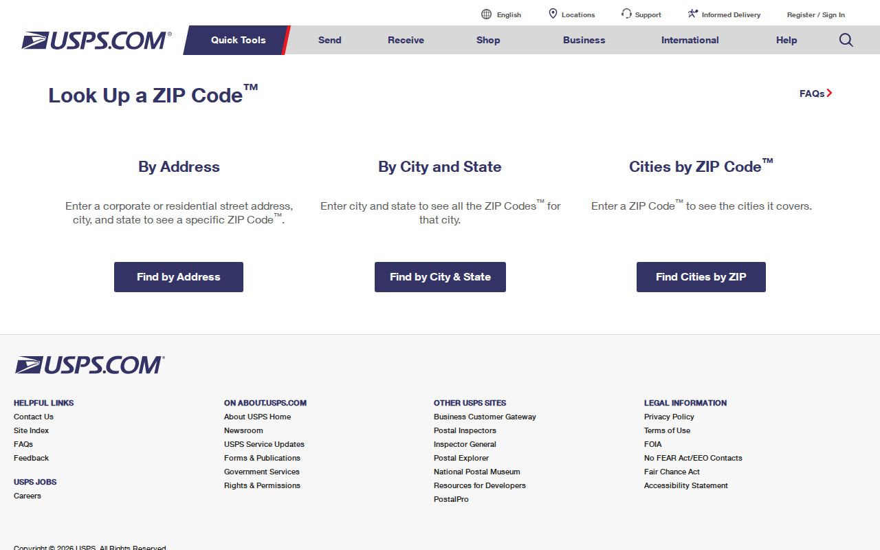
The screen shows the tool's limited purpose: postal formatting and routing, not a people search.
Unit information can matter. An apartment, suite, residence hall, or institutional delivery point may share the same base street number while receiving a different ZIP+4. Run the exact unit when it is known. If USPS does not validate the address, check spelling, directional prefixes, street suffixes, and whether the location is new. Then compare the Town parcel service or ask the addressing authority. Do not invent a ZIP from a nearby property.
Read Normal Postal Routing
The 2018 USPS Postal Bulletin lists Normal-related designations including 61761 and 61758. Later routing material places 61790 in Bloomington-area processing. These are operations records, so labels can cross the civic lines residents use in daily speech.
Review the USPS routing bulletin.
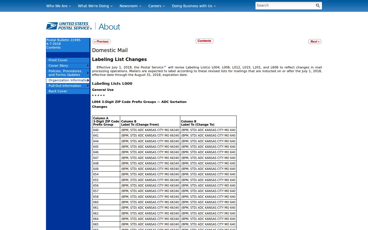
The bulletin supports the code designations while leaving an exact street address to the current USPS lookup.
Narrow Normal Records by ZIP
No inspected official portal provides a public ZIP-wide list of Normal residents. Instead, combine postal verification with parcel and individual-status tools. The Town GIS parcel layer exposes a zip_code field. Devnet has no visible dedicated ZIP input, but it accepts city, street, house-number range, owner, parcel, sale, tax-district, and property-class filters. The voter form requires ZIP before it supplies street choices.
- Enter the full address in USPS. Save its standard form and ZIP+4.
- Query the Town GIS zip_code field. Record parcel year, PIN, address, city, and state.
- Open the linked assessor record. Compare situs and mailing addresses because they may differ.
- For a person who supplied their details, use the Illinois voter form's ZIP and street controls.
- Once a code narrows the area, use the Normal street directory for address-level work.
The GIS response limit is 2,000 features. Split a large request into smaller areas and keep the parcel-year date with the output. GIS owner fields do not prove occupancy, and map lines are not surveys.
Devnet adds another useful distinction. Its results can place the owner mailing address beside the parcel's situs address. The mailing line may carry a different ZIP because the tax bill goes to an owner, trust, estate, or management address elsewhere. That difference is not an error by itself. Record which field supplied each ZIP. For a mobile home, use the portal's separate mobile-home tab, which accepts its own number, owner, house number, street, and city fields.
Normal Voter ZIP Sequence
The Illinois voter registration lookup uses a ZIP to verify one supplied person. It asks for first name, last name, birth date, and five-digit ZIP. Street number and a street-name list appear after the ZIP. A match can show status, address, precinct, polling place, and districts.
This is not a way to browse everyone in 61761. Illinois restricts voter-file disclosure, and the public screen is narrower than the registration form. A no-match may reflect an old address, spelling, protected status, or changed registration. Normal is in the McLean County Clerk jurisdiction, while Bloomington has its own election commission.
The jurisdiction split is separate from the postal label. A Normal voter uses the McLean County Clerk even though the clerk's public counter is in Bloomington. Someone within the City of Bloomington uses its election commission. When a border address is unclear, first settle the municipal location through parcel and district records. Eligible requests for broader voter-file extracts follow the County Clerk's walking-list form, requester categories, redaction rules, and fees; ZIP alone does not open that file.
Separate Normal Address Geographies
A situs is the physical parcel or building location. A mailing address is where a bill or notice is sent and may be elsewhere. A legal description identifies land through lot, block, subdivision, metes and bounds, or PIN. It can stay stable when a street name, number, or postal label changes.
Normal tax records add layers that do not follow ZIP boundaries: Normal Township, Town of Normal, Community Unit School District 5, Normal Public Library, water reclamation, airport, and TIF districts. Two nearby parcels can share a ZIP code but have different district facts. A Normal ZIP code directory must preserve those differences.
Normal ZIP and Town Limits
Postal boundaries are built for delivery, while municipal lines define the Town of Normal. A Normal mailing label may reach beyond the town, and a town parcel can use a nearby routing label. Campus service adds a third pattern. Compare USPS with Town GIS and McLean tax districts before choosing a records office.
- ZIP vs ZIP+4
- A five-digit ZIP marks a delivery area; four more digits narrow a segment or point.
- PO-box ZIP
- A code used for post-office box delivery rather than a broad street area.
- Unique ZIP
- A code used by one institution or a limited high-volume destination.
- Carrier route
- A postal delivery path within a ZIP, not a town boundary.
Boundary check. Never use a Normal ZIP alone as proof that an address lies inside town limits or that a person lives there.
Before Normal Had ZIP Codes
Normal began as North Bloomington at the railroad junction in 1854. Jesse Fell's addition followed in 1857, and the town took the Normal name in 1865. Early directories describe sites by corners, sides, and a street between two cross streets. Modern numbers and postal codes cannot be pushed back onto those entries without the old plat and block.
For a historic Normal address, begin with its modern PIN and legal description, then compare subdivision plats, atlases, and directories. The reviewed sources did not verify one citywide renumbering year. North Bloomington is therefore a vital search term for records made before incorporation and modern ZIP codes.
The 1855–56 directory may describe a person at a corner, on one side of a street, or between two cross streets. Occupation and boarding details can separate people with similar names. Later criss-cross directories can turn a numbered address into a household entry. ZIP codes add no value to the earliest part of that trail, but the modern parcel number and legal description can connect the present lot to its plat and deed history.
Resolve Normal ZIP Conflicts
When USPS, GIS, and a tax bill disagree, save each dated result. Ask Normal Planning, Engineering, or McGIS about new addresses, annexations, and road names. Include the PIN, subdivision, road name, and date range. Permit reports are address-keyed, not ZIP-keyed, and the public portal is login-gated, so a focused Illinois FOIA request may be the practical channel.
Town GIS supplies an attribute query and links to assessor, recorder, and tax information. Devnet supplies tax-year context. USPS remains the final postal source. Together they explain most mismatches without changing a city or ZIP field by hand. For old places, library reverse directories and plat books take over where ZIP searching stops.
Normal municipal address records can be requested through the Town's JustFOIA portal, by email, mail, or in person. Illinois FOIA generally calls for a response within five business days, subject to a statutory extension and redaction. County parcel, deed, voter, and court records stay with their own custodians, not the Town. State Archives and IRAD at ISU's Milner Library are the fallback for historical local-government series. A narrow request that names the street, parcel, record type, and date span is easier to route than a request for every resident in a ZIP.